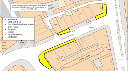
Cumberland Council, in its commitment to public safety, organised a structural survey along Devonshire Street, Carlisle. The survey aimed to assess the condition of cellars, vaults, and arches within buildings beneath the light wells on the footway.
Following Storm Arwen in November 2021, the U7003 along the western shore of Thirlmere had a road restriction that was implemented on an emergency basis under a Temporary Traffic Regulation Order, due to fallen trees, significant rockfall and debris on the highway. This made the road hazardous to all users. Damage was caused to adjacent land, known as Rough Crag, which is the responsibility of United Utilities, as the landowners.
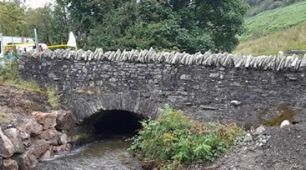
A bridge at Buckbarrow on the U4064, Corney Fell, has been closed today (Wednesday 30 August) after significant concerns were raised about the bridge structure and strength of the bridge to carry any vehicles.
Cumberland Council is pleased to announce the completion of a resurfacing project in the charming village known as The Hill, in southern Cumbria, near Millom.
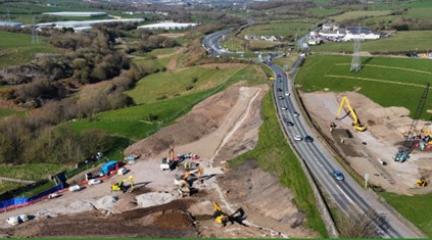
A contribution of £100,000 has been received by Cumberland Council from National Highways to improve the highway infrastructure in the Moresby area of Whitehaven.
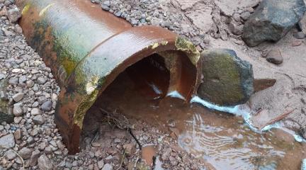
Cumberland Council is pleased to announce the successful resolution of drainage issues that have been impacting the community of Brownrigg, near Arlecdon.